Log in
All resources
Create a design
42,491 Free Images of 1900 Maps
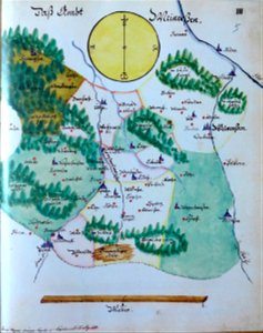
maps made in the 17th century
fonds ancely - bibliothèque municipale de toulouse - maps
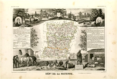
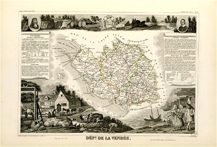
victor levasseur - maps of france
atlas van der hagen
maps with cartouches
hand-drawn maps and views of world war i battlefields by h.m.
atlantis magni tomus tertius (biblioteca comunale di trento)
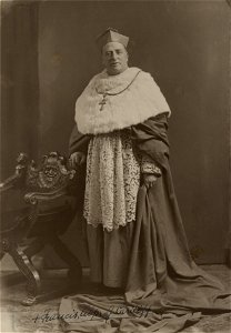
frédéric-auguste laguillermie
atlas van der hagen (volume 3)
atlantis magni tomus primus (biblioteca comunale di trento)
atlantis magni tomus primus (biblioteca comunale di trento)
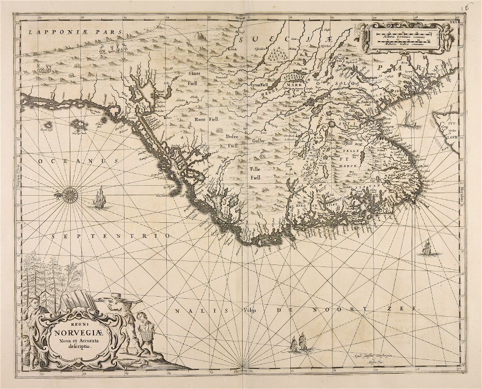
17th-century maps of sweden
charts and maps of the royal museums greenwich
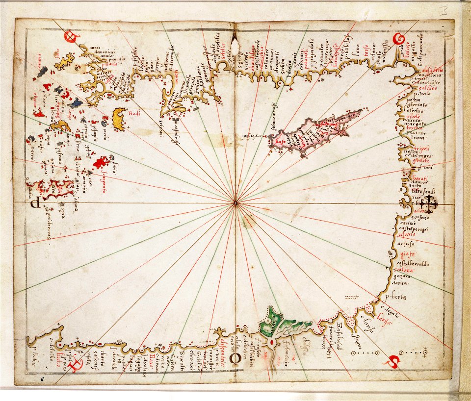
16th-century maps of the mediterranean sea
illustrations of cosmographia (münster)
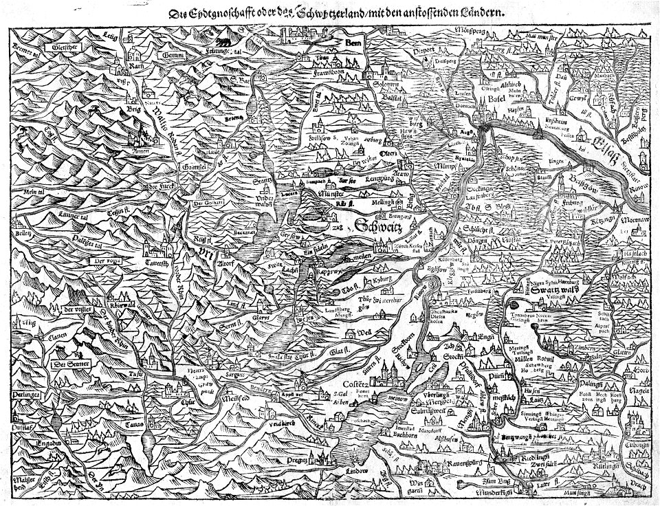
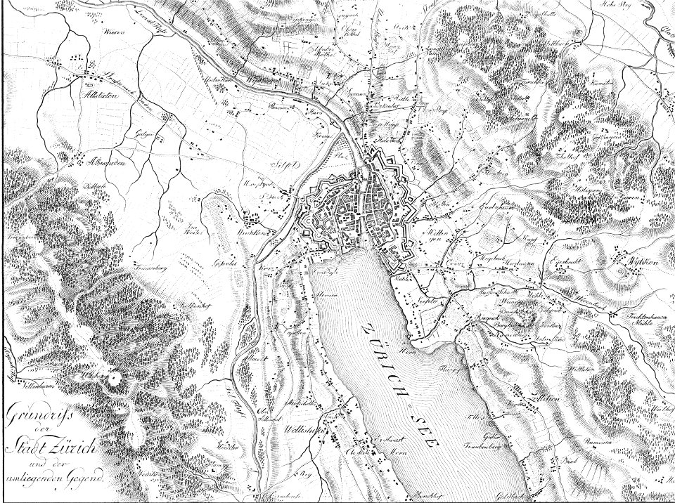
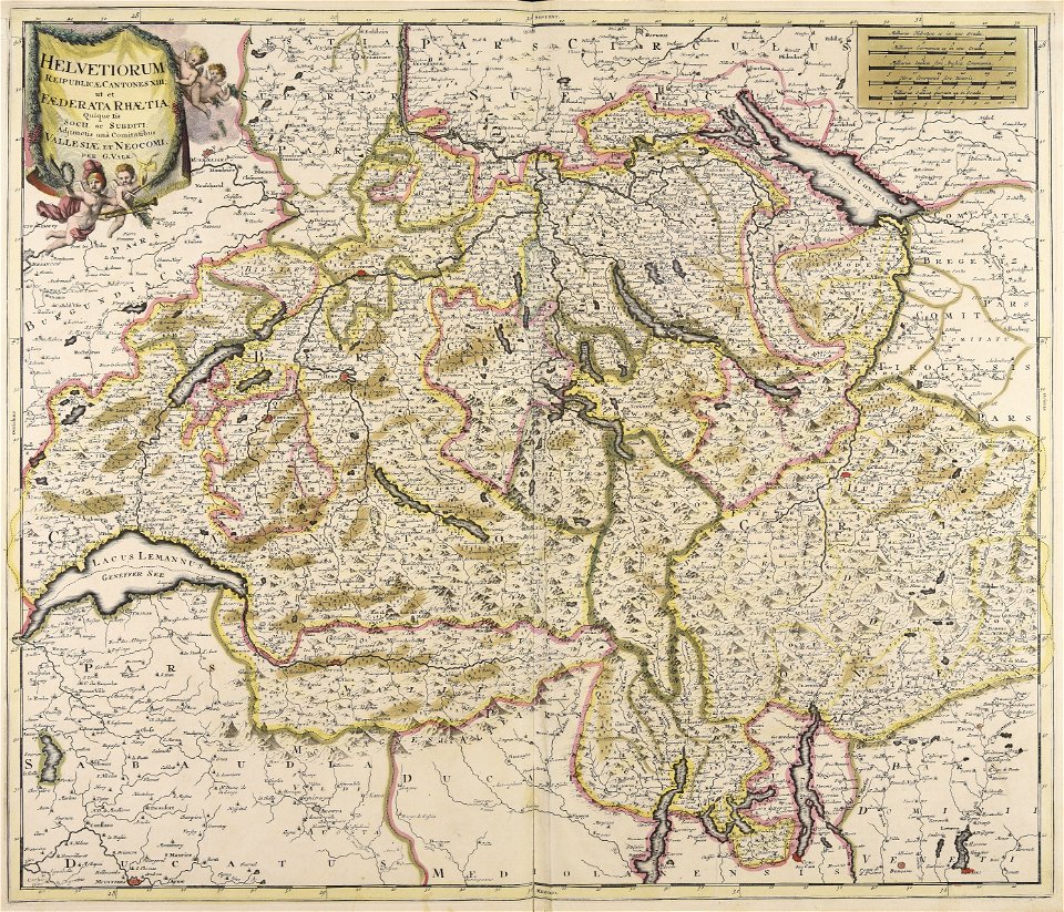
old maps of switzerland
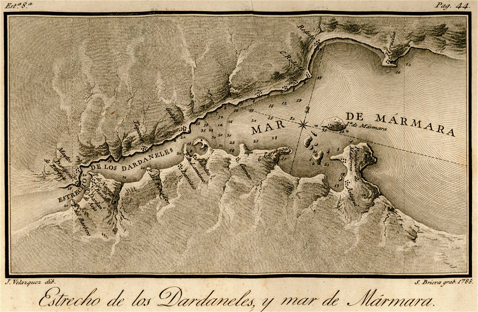
maps of the sea of marmara
viage á constantinopla
arabic-language manuscripts
bodleian library
maps made in the 17th century
jan janssonius
volume 3 of le tour du monde
maps by alexandre vuillemin
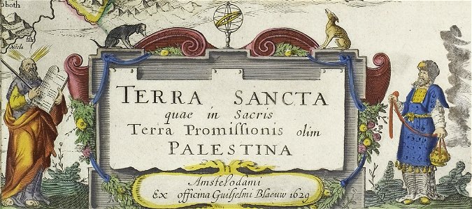
maps by willem and johannes blaeu
maps made in the 17th century
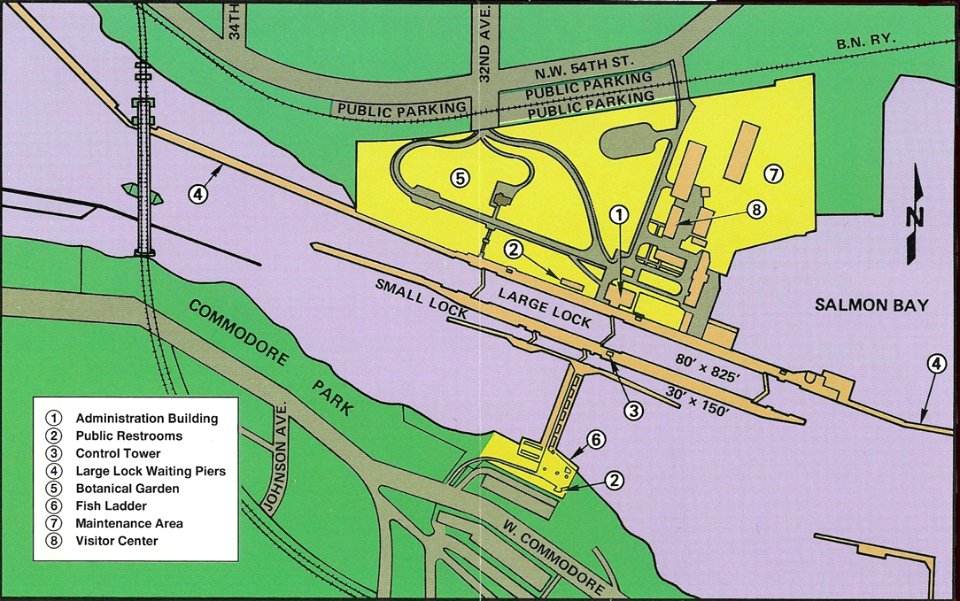
ballard locks
fish ladder
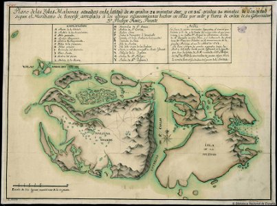
old maps of the falkland islands
history of the falkland islands
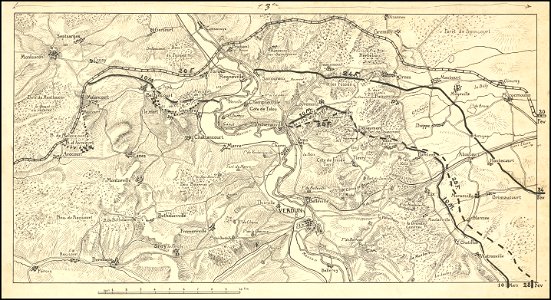
hand-drawn maps and views of world war i battlefields by h.m.
western front maps of world war i
hand-drawn maps and views of world war i battlefields by h.m.
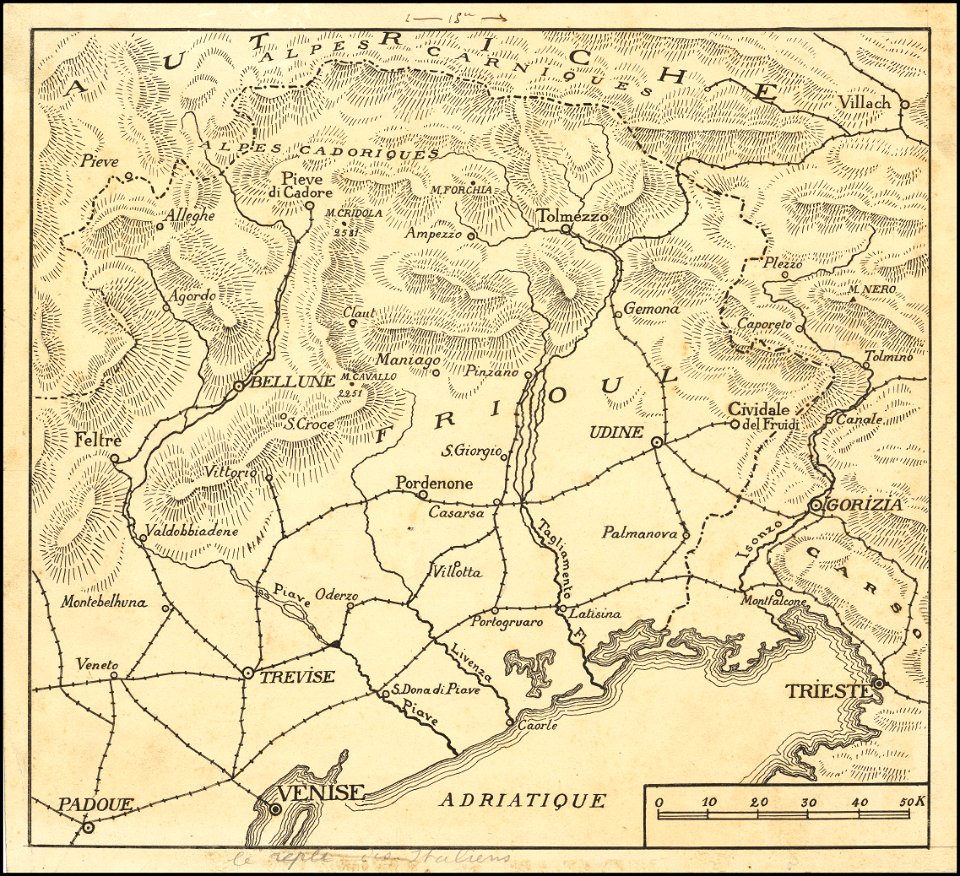
maps of world war i - italian front
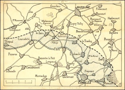
hand-drawn maps and views of world war i battlefields by h.m.
western front maps of world war i
hand-drawn maps and views of world war i battlefields by h.m.
western front maps of world war i
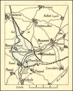
hand-drawn maps and views of world war i battlefields by h.m.
western front maps of world war i
hand-drawn maps and views of world war i battlefields by h.m.
maps of world war i - italian front
maps made in the 17th century
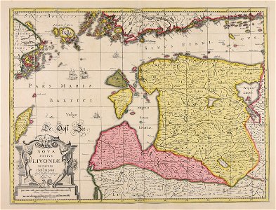
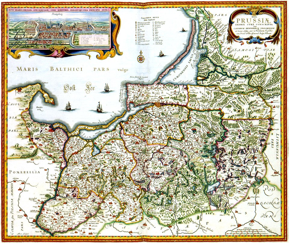
livonia
atlantis magni tomus primus (biblioteca comunale di trento)
maps made in the 17th century
engravings by matthäus merian
engraved maps
images from the john carter brown library
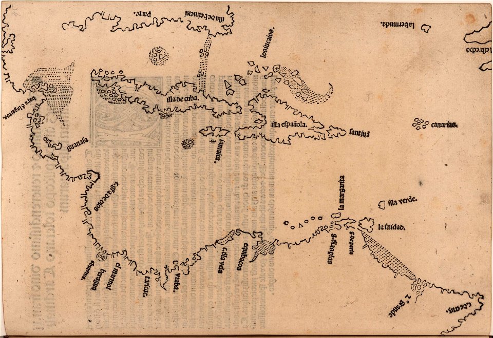
1510s maps of the caribbean
fonds ancely - bibliothèque municipale de toulouse - maps
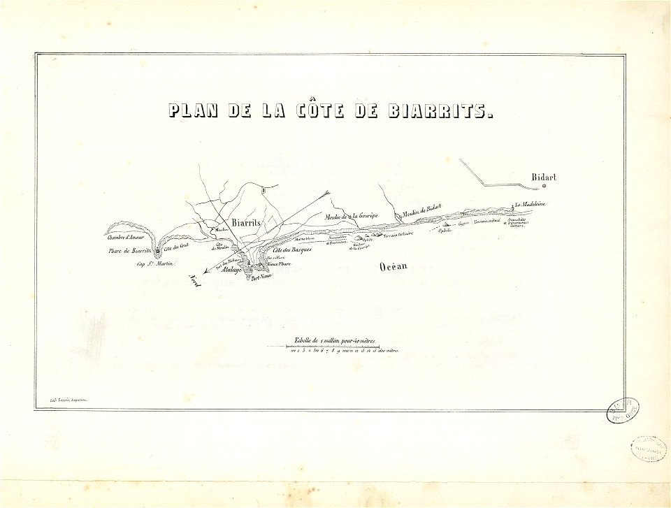
historical images of biarritz
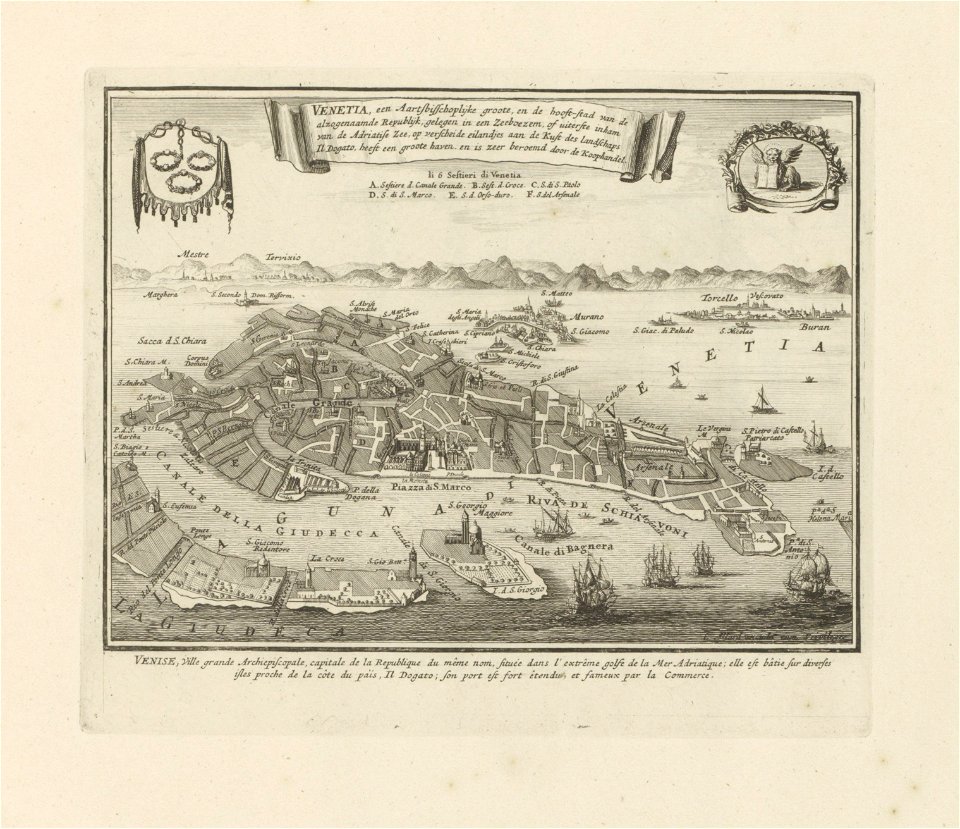
old maps of venice
carolus allard
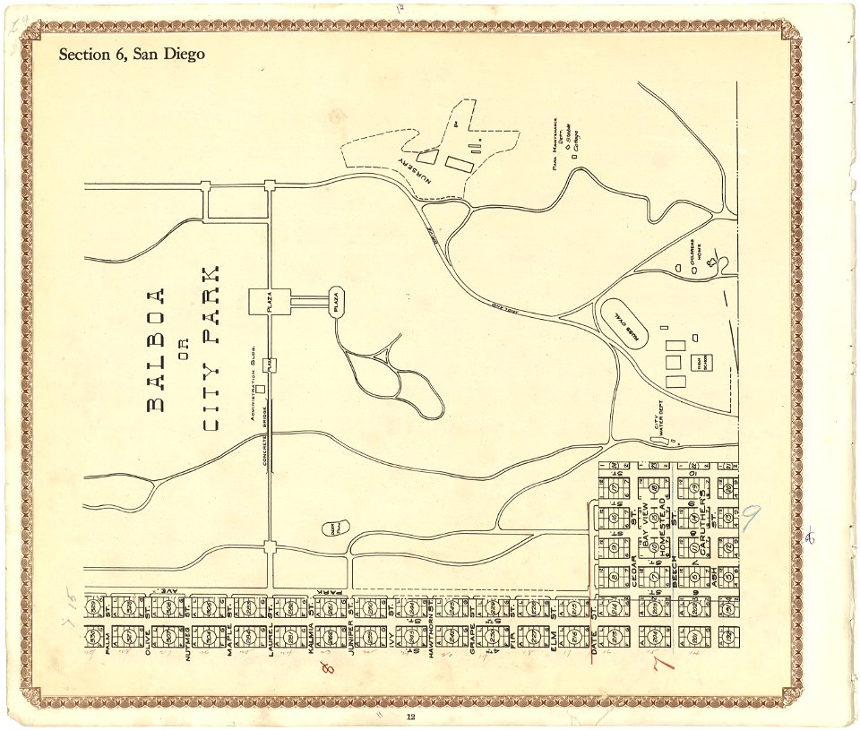
california
san diego
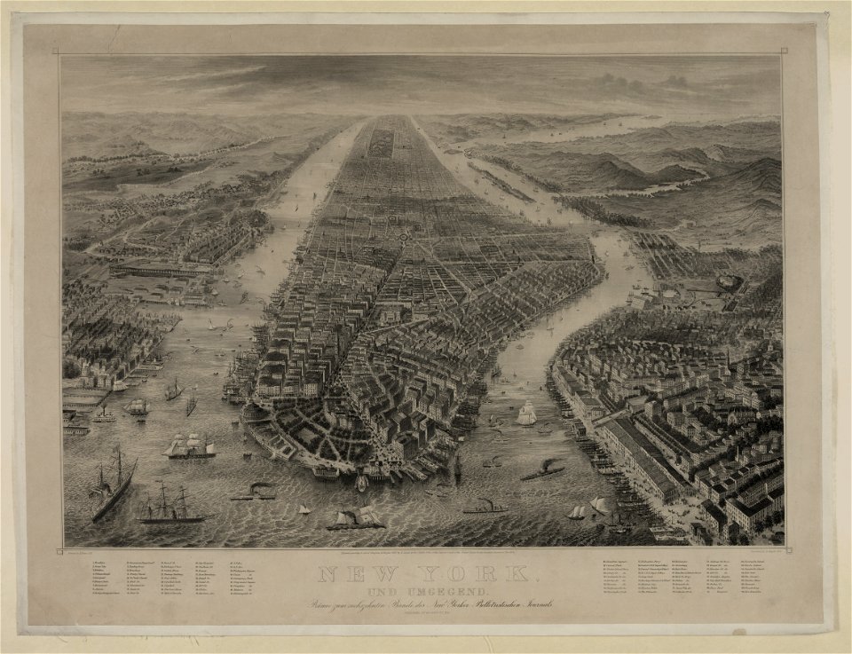
bird's eye view maps of new york city
1867 in new york city
maps in the library of congress
new york
atlantis magni tomus primus (biblioteca comunale di trento)
maps made in the 17th century
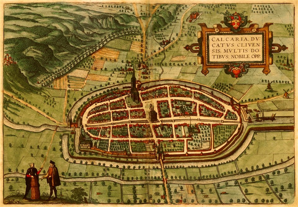
braun & hogenberg
maps of kalkar
heinrich keller
aussersihl
historical images of lüneburg
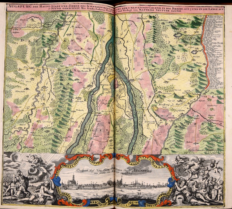
maps by matthäus seutter
maps made in the 17th century
jan janssonius
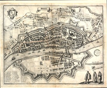
bremen in topographia saxoniae inferioris (merian)
old maps of bremen (state)
edemissen
meinersen
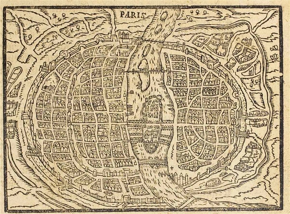
17th-century maps of paris
paris in the 16th century
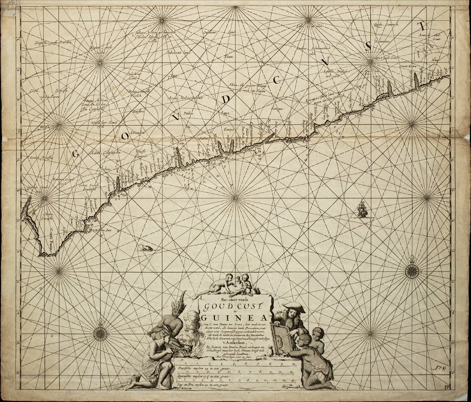
18th-century maps of africa
engravings by jan luyken
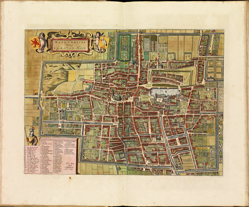
the hague stork in art
old maps of the hague
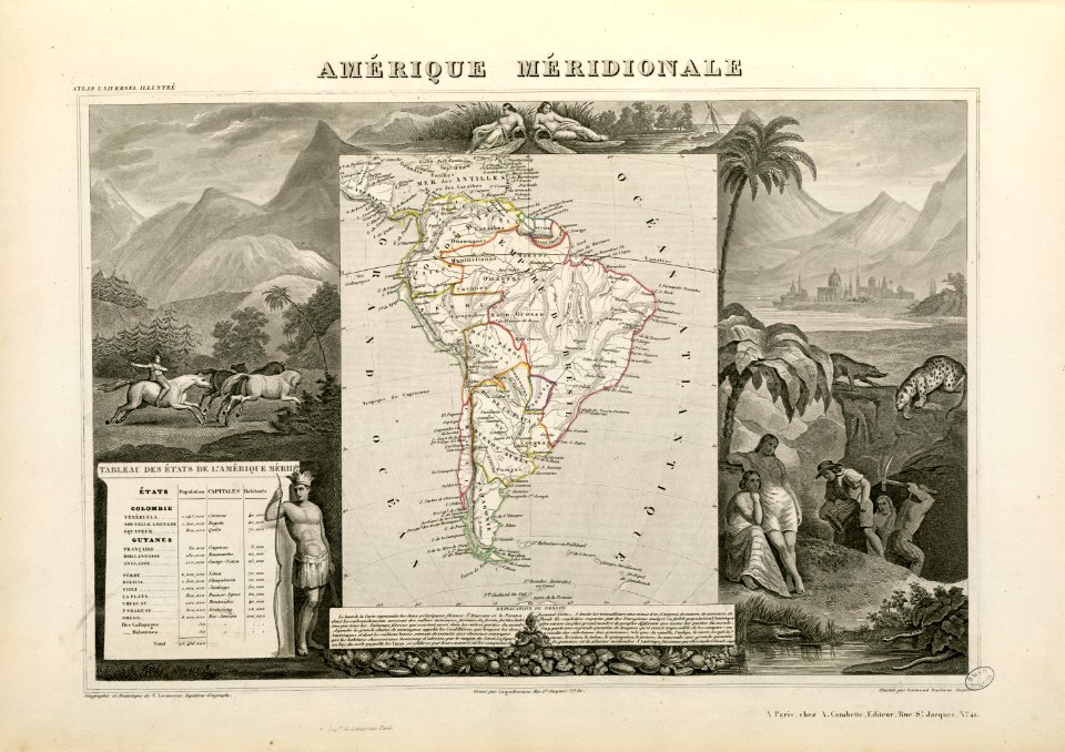
victor levasseur - maps of the world
historical images of arecaceae
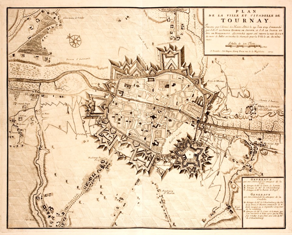
old maps of tournai
tournai
fonds ancely - bibliothèque municipale de toulouse - maps
coats of arms of cities in mayenne
coats of arms of cities in haute-marne
charles-guillaume étienne
fonds ancely - bibliothèque municipale de toulouse - maps
louis-marie de la révellière-lépeaux
coats of arms of rhône
louis gabriel suchet
fonds ancely - bibliothèque municipale de toulouse - maps
victor levasseur - maps of france
fonds ancely - bibliothèque municipale de toulouse - maps
coats of arms of cities in doubs
roch-ambroise cucurron sicard
frédéric-auguste laguillermie
history of mansfeld land
gerard valck
collections de la bibliothèque nationale et universitaire de strasbourg
maps of strasbourg in the 18th century
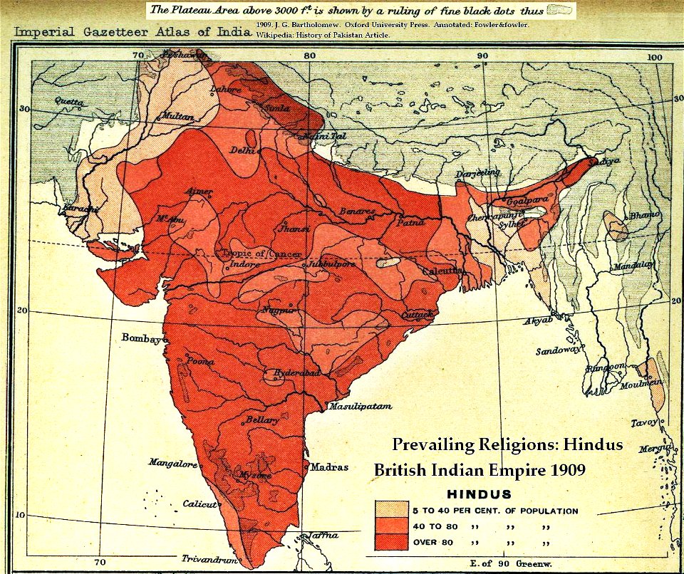
old maps of the indian subcontinent
hindus
drawings by john robert cozens in the yale center for british art
old maps of lazio
1892 united states presidential election
adlai stevenson i by napoleon sarony
self-published work
2011 in dordogne
gabrielle réjane
sound film
family portrait paintings by john singer sargent
impressionism
maps by willem and johannes blaeu
hudson valley
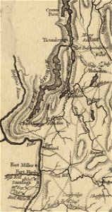
fort ticonderoga
john burgoyne
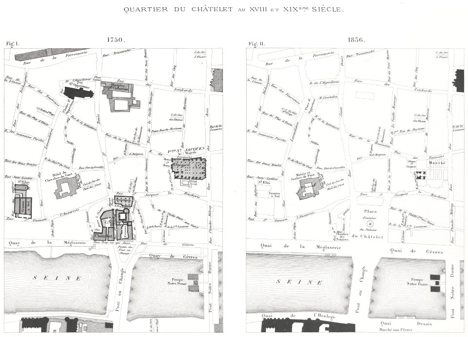
lithographs of paris
grand châtelet
prints from mémoires des commissaires du roi et de ceux de sa majesté britannique at the peace palace library
jean ignace de la ville
merksem
lillo
maps made in the 17th century
gerard valck
dutch 18th-century prints in the rijksmuseum amsterdam
hendrik de leth
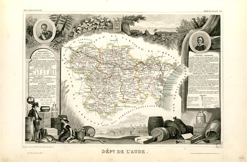
coats of arms of cities in aude
coats of arms of aude
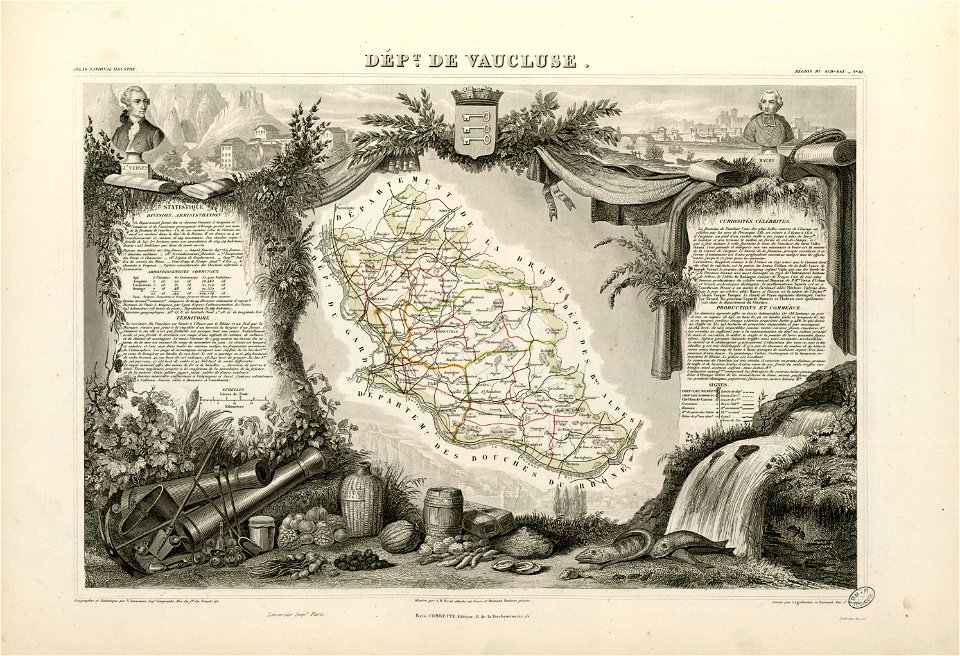
coats of arms of cities in vaucluse
works after joseph vernet
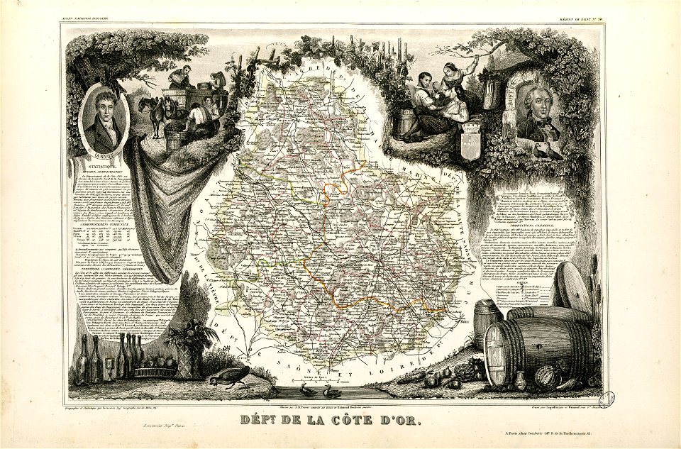
old maps of côte-d'or
lazare carnot
1867 engravings
new york city
lithographs of paris
université de paris
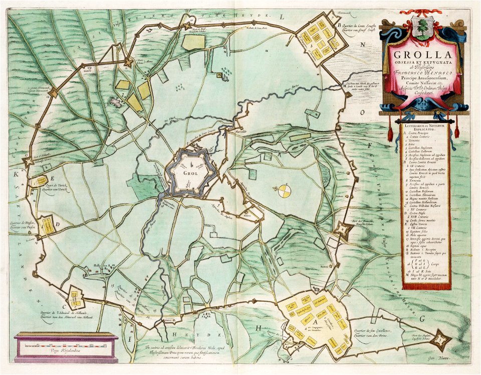
circumvallatielinie (groenlo)
coats of arms on maps
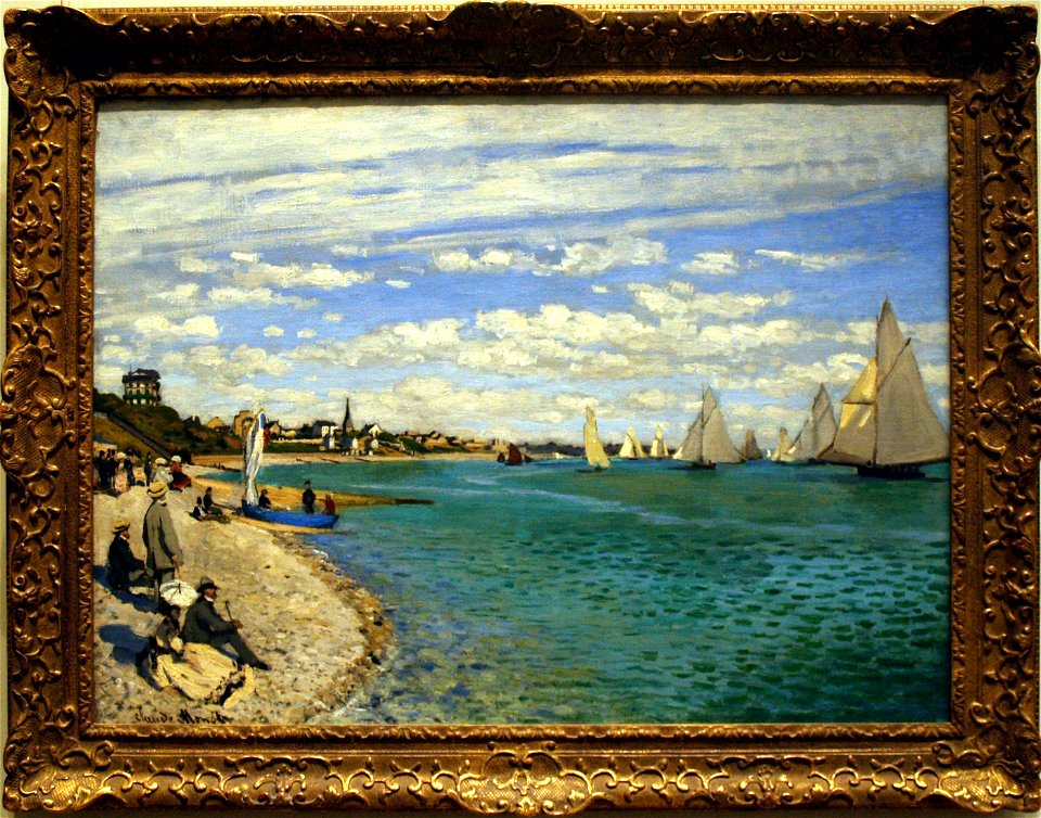
sainte-adresse by claude monet
sailboats in art
black and white photographs of germany in the 1910s
black and white photographs of wuppertal
madrid
1900
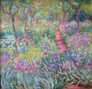
gardens by claude monet
giverny by claude monet
madrid
1900
ambroise vollard
maurice denis
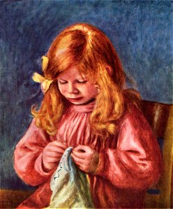
pink clothing in art
male
19th-century landscape paintings
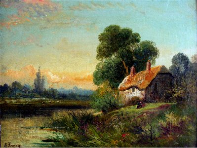
paint the house
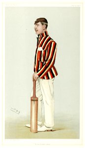
list of knights and ladies of the thistle
harry primrose
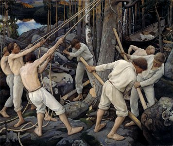
logging in finland
people on rocks
clerics with ermine garment
fur fashion in 1900
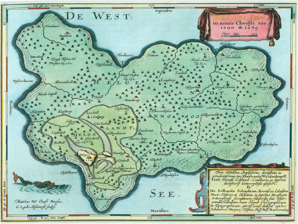
helgeladt in annis christi 800
1300 & 1649
maps made in the 18th century
gerard valck
maps made in the 18th century
gerard valck
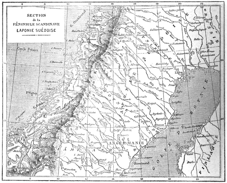
19th-century maps of sweden
sweden in the 1850s
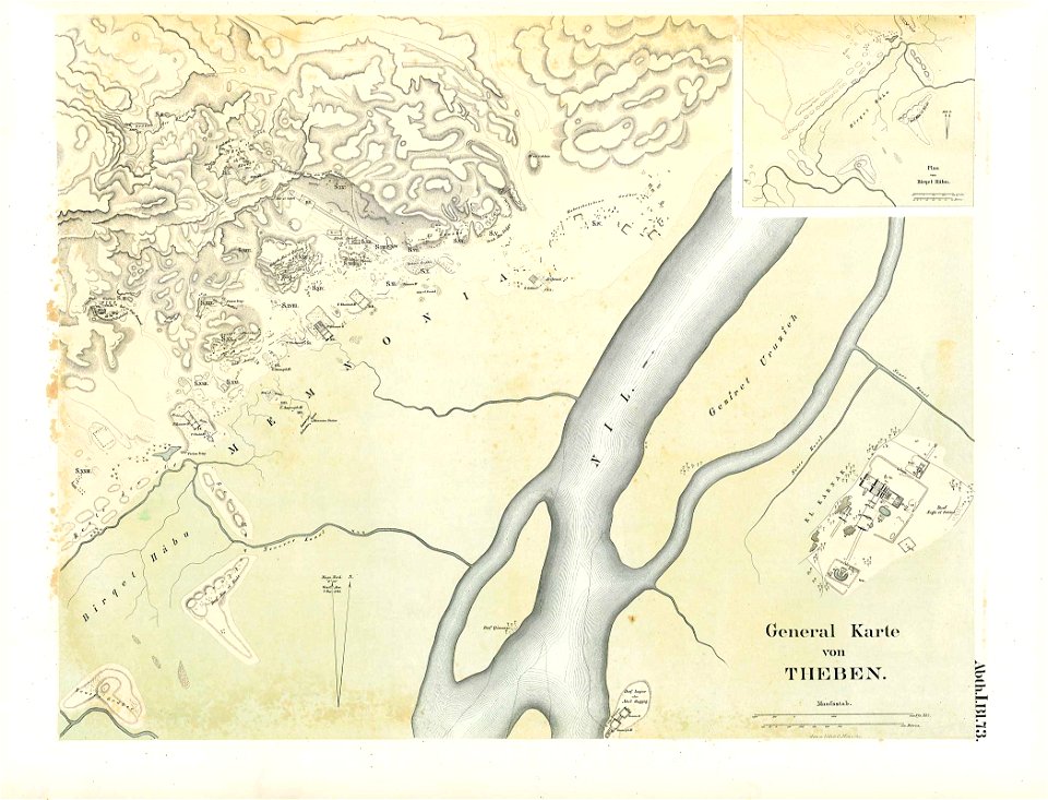
karnak temple complex
thebes
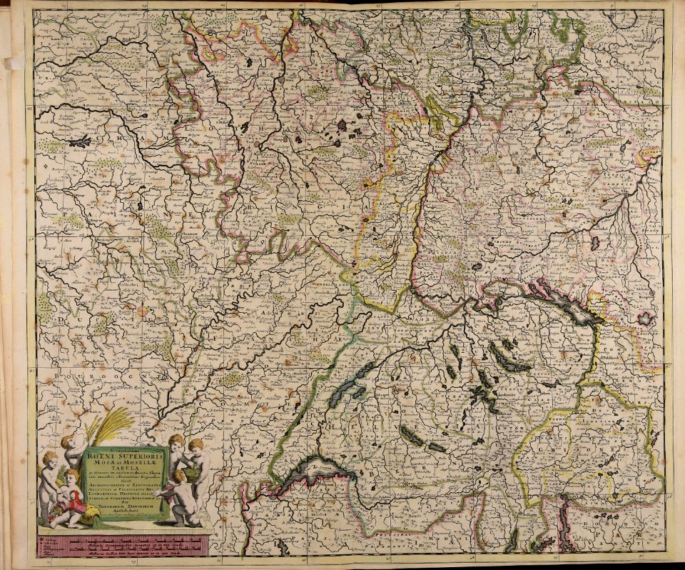
maps made in the 17th century
old maps of alsace
maps made in the 17th century
jan janssonius
braunschweig in the 1880s
old maps of braunschweig
grand
bill
cornell university library
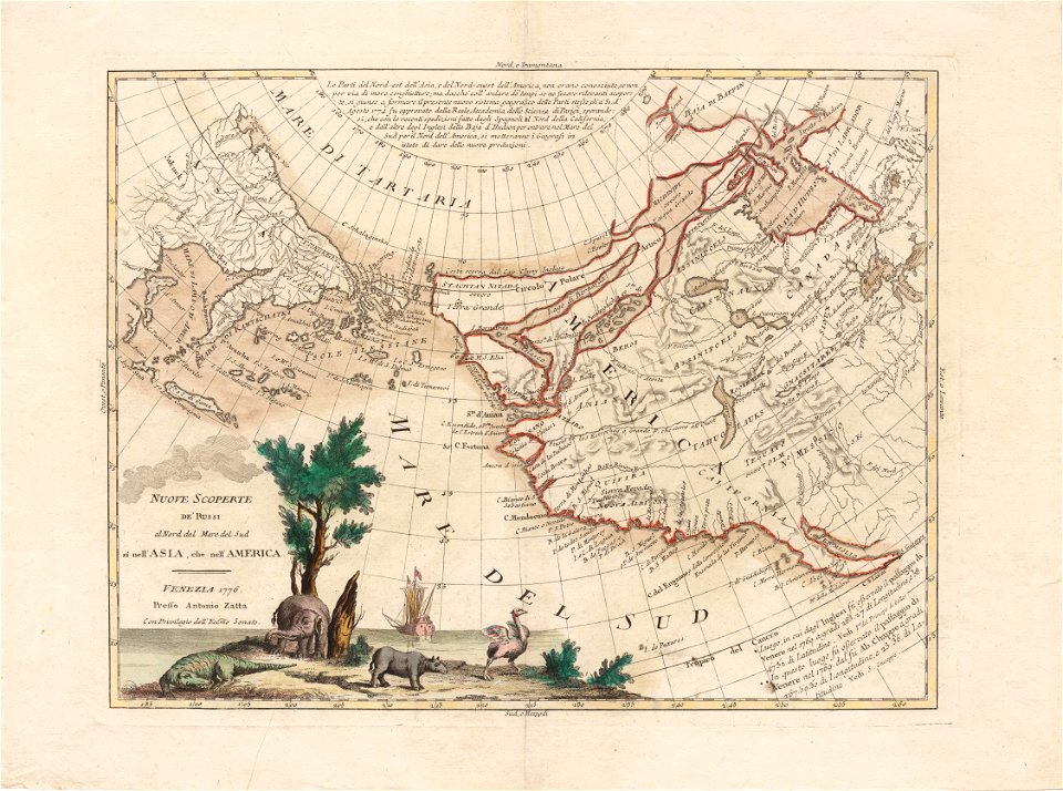
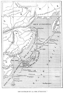
north pacific
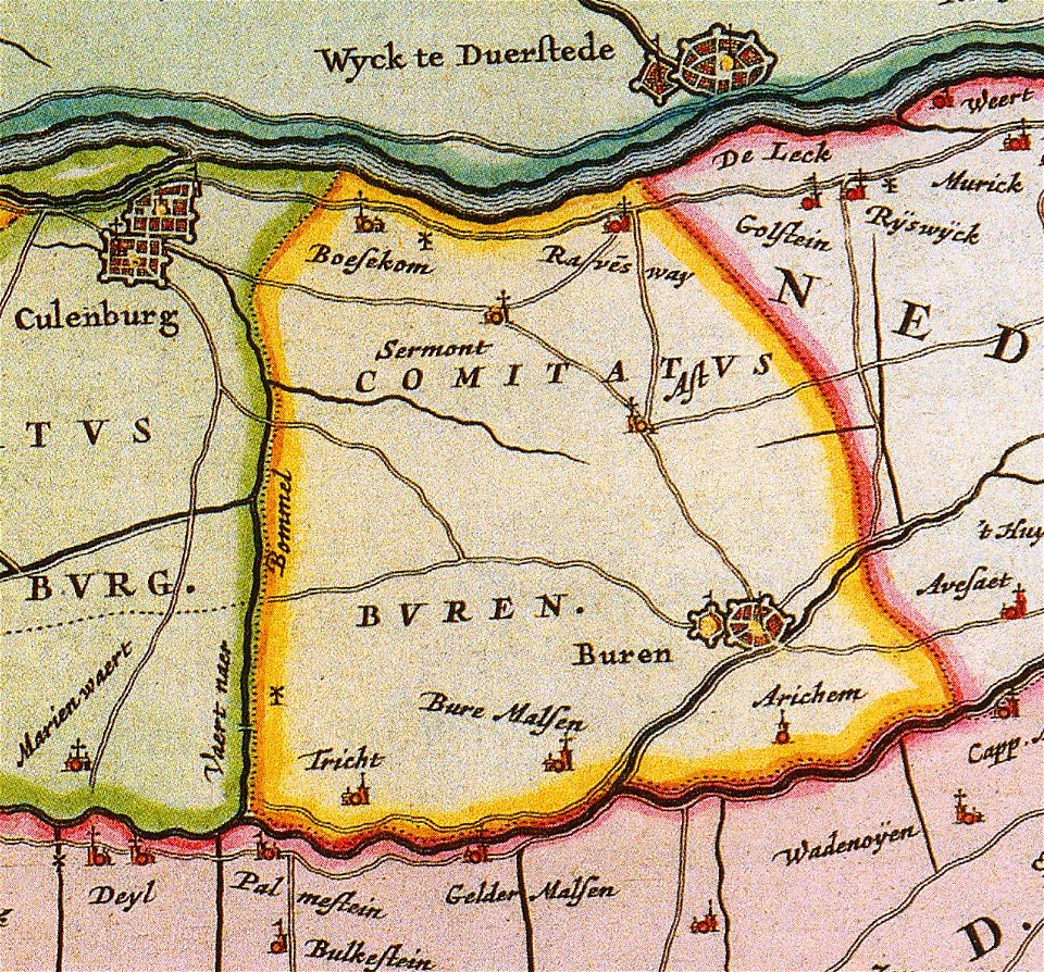
old maps of gelderland
gelderland
maps made in the 17th century
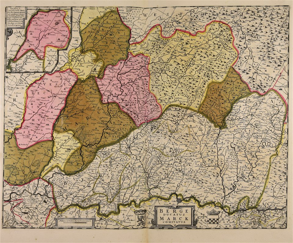
maps of the county of mark
maps made in the 17th century
old maps of europe
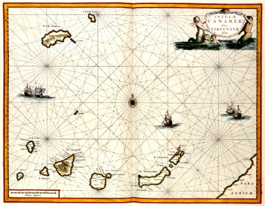
old maps of the canary islands
1667
illustrations from the sea serpent by george roux
20th-century maps of japan
atlas van der hagen
copper engraving
maps with cartouches
atlas van der hagen
maps with cartouches
copper engraving
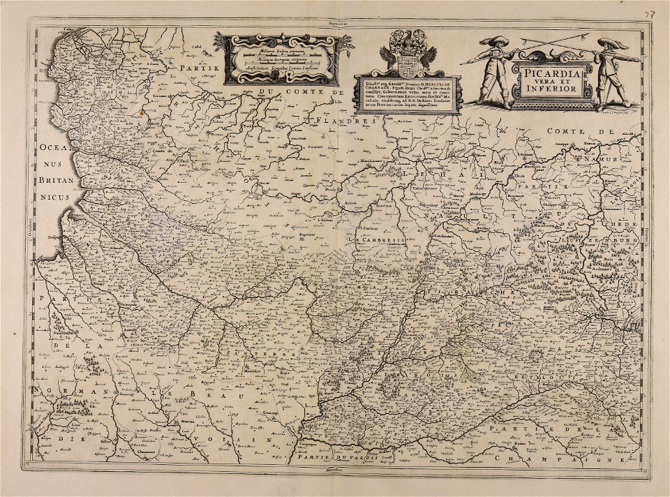
17th-century maps of france
maps with cartouches
maps with cartouches
old maps of malta
maps with cartouches
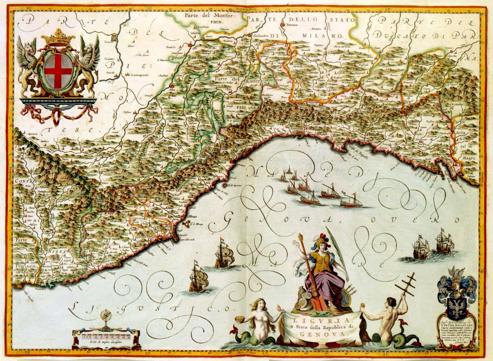
old maps of genoa
maps with cartouches
atlas van der hagen
maps with cartouches
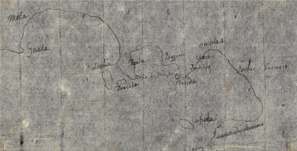
old maps of italy
atlantis magni tomus tertius (biblioteca comunale di trento)
maps made in the 18th century
8201 - 8300 of 42,491
Next page
/ 425